Section 1
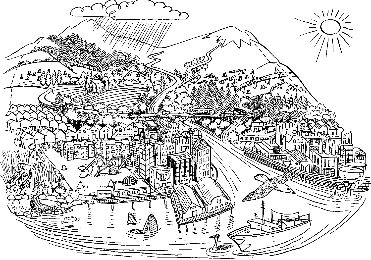
Resource: Living Estuary Poster/Map
Learning Objectives
Students understand the size, shape, and major
geographic features as well as the diversity of habitats
in Puget Sound. Students learn about where they live
in the Puget Sound region.
Activity
Have students use the Living Estuary poster/map to
locate and discuss the following:
Ocean water comes into Puget Sound from the Strait
of Georgia and the Strait of Juan de Fuca. Where are
these two bodies of water?
Most of the ocean water that enters and leaves Puget
Sound goes through Admiralty Inlet. Look for it near
the town called Port Townsend. Does ocean water get
into Puget Sound at any other point you can find?
There are many different kinds of animals on the
poster. Some live on land, some in the water, and
some on the beach. How many animals can you find
on the poster? What is the home or habitat for those
animals? What connects all those habitats?
Where do you think most of the people around Puget
Sound live? Name some of the cities where you think
a lot of people live. Find your city on the poster.
How many rivers can you find on the map? Do all the
rivers go directly into Puget Sound or do they connect
to other rivers? Have you visited any of these rivers?
Section 2
Resource: Seattle Public Utilities Map
Learning Objectives
Students see the connection between the freshwater
watershed and Puget Sound. They learn what and where
local watersheds are and what watershed they live in.
They understand where their water comes from, how
it is distributed to people, and where it goes after use.
Students begin to see the multiple uses and competing
demands for water and learn how they can conserve
water.
Activity
Have students locate their home, school, and other
familiar areas on the map. Ask them to read, answer,
and discuss questions about the conservation
information at the bottom of the map.
Puget Sound Belongs to All of Us:
Teacher’s Guide to Activities
Lesson 15
Examining a Real Environmental Problem
Resource: Ecosystems Teachers Guide Pgs.160–172
Section 3
Resource:
Puget Sound Book pgs. 5–12
Learning Objectives
Students understand that people are the problem
and the solution. They learn what each of us can do
on an individual basis to protect the Sound.
Activity 1
Students compare what they have seen and
learned from pollutants in their ecocolumns with
what happens when pollution enters an ecosystem
like Puget Sound.
Oil, gas, and other chemicals from cars and other
vehicles contaminate the muddy sand bottom in
Puget Sound. Toxic chemicals from oil and gas have
been found in some Puget Sound fish and shellfish
that people eat. Fertilizers washed off lawns and
gardens, and phosphorous from detergents also
end up in the Sound where they cause rapid plant
growth that can use up the oxygen that fish and
other animals need to stay alive.
Resource:
Washington Beaches Curriculum
from the Seattle Aquarium
pgs. 27–52
Learning Objective
Students learn what plants and animals live in two
major Puget Sound habitats.
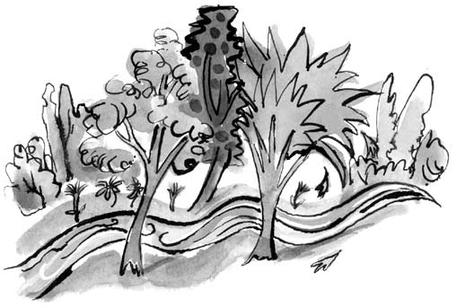
Activity 2
Have students use the pictures and key to find and
identify plants and animals in each habitat.
Section 4
Resource:
Seattle Public Utilities Map
Learning Objective
Students understand the impact of deforestation in the
Puget Sound region. They see where trees have been
cut and what has replaced them.
Activity
Students look for forested areas, note distribution of
buildings, and consider the effect on wildlife. They find
wildlife, noting proximity to spreading development.
Then they find dams on rivers, and discuss the effect
of dams on salmon migrating up rivers.